 Sites List
Sites List All
Yurihonjō Area
Nikaho Area
Yuza Area
Sakata Area
Tobishima Area


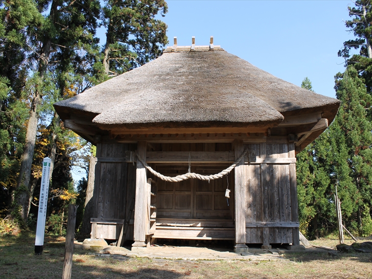
- Moriko Ōmonoimi Shrine
- This shrine has a sacred atmosphere and is surrounded by Japanese cedar trees (Cryptomeria japonica)...
- Yurihara Plateau
- Over a long period of time, a large portion of land that accumulated from a debris avalanche on Mt. ...
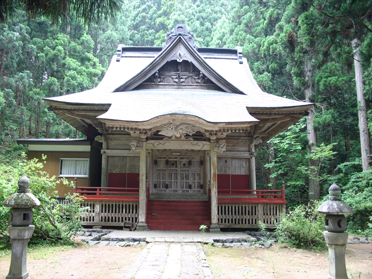
- Kizakai Ōmonoimi Shrine
- Kizakai Ōmonoimi Shrine was once a hub for practitioners of the ascetic religionShugendō in the Yash...

- Innai Oil Field Site
- Innai Oil Field was once one of the largest oil-producing fields in Japan. An oil mining company beg...

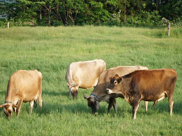
- Nikaho Plateau
- Located at an elevation of about 500 m, this plateau was created by land that accumulated from a deb...
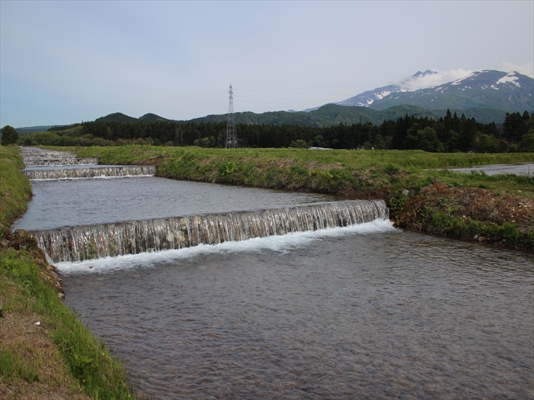
- Kamigō Warming Canals
- These canals were designed by the residents of the Kamigō area to warm the cold water from Mt. Chōka...

- Yuri Coast Seawall
- These stone walls are estimated to have been built in the 18th century (Edo period). Their purpose w...

- Karato-ishi Rock
- Karato-ishi rock was part of the sector collapse of Mt. Chōkai approximately 2500 years ago, when a ...

- Fukuden Spring
- Fukuden Spring flows from beneath a 50-m-tall cliff. This cliff was formed by lava that flowed from ...

- Jūroku-rakan-iwa (16 Arhat Rocks)
- In these 100-thousand-year-old volcanic rocks, you can see carvings of arhats, Buddhist achievers of...

- Kamiko-no-mizu Water Basins
- Kamiko-no-mizu is a set of spring water basins in Yuza Town's Mega area. The spring's origin is loca...

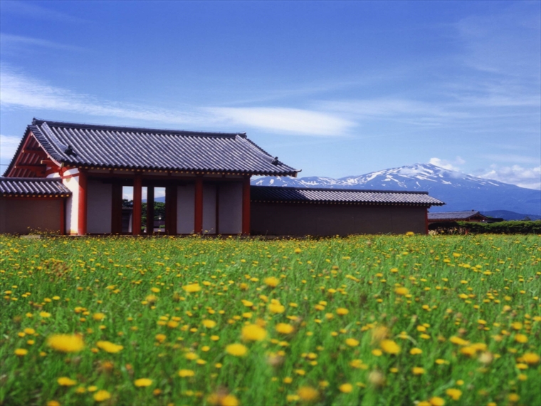
- Mt. Chōkai Ōmonoimi Shrine (Fukura-kuchi-no-miya)
- Mt. Chōkai Ōmonoimi Shrine is the Ichinomiya (highest-ranking shrine) of the former Dewa Province. A...

- Mt. Chōkai Ōmonoimi Shrine (Warabioka-kuchi-no-miya)
- Mt. Chōkai Ōmonoimi Shrine is the Ichinomiya (highest-ranking shrine) of the former Dewa Province. A...

- Shōnai Sand Dunes
- These sand dunes stretch about 35 km north–south. They were formed by sand that was carried by river...