 Geopark Sites
Geopark Sites
Search by Area
Search by Category
Search by Photo
Search Popular Sites
-

- Yurihonjō Area
- Akita Prefecture
- The largest area in Akita Prefecture. Known for its many sake breweries.
-

- Nikaho Area
- Akita Prefecture
- An area with relatively little snow. Abundant in fresh produce from the mountains and the sea.
-

- Yuza Area
- Yamagata Prefecture
- Popular with mountain climbing enthusiasts, this area is beautiful in all four seasons.
-

- Sakata Area
- Yamagata Prefecture
- Shōnai rice and the groundwater of Mt. Chokai are used to make this area’s specialty sake.
-

- Tobishima Island Area
- Yamagata Prefecture
- Island-unique walking, fishing, and swimming can be enjoyed in this area.


All
Yurihonjō Area
Nikaho Area
Yuza Area
Sakata Area
Tobishima Area


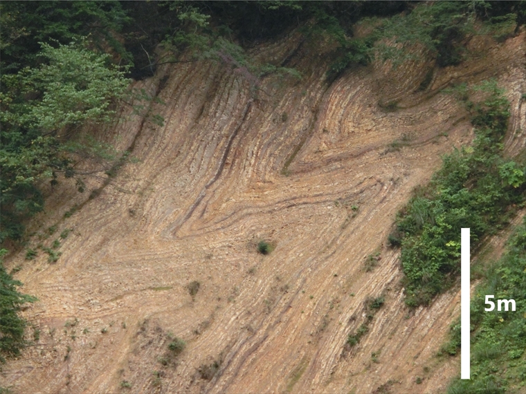
- Large Fold Outcrop, Miyazawa Forest Road
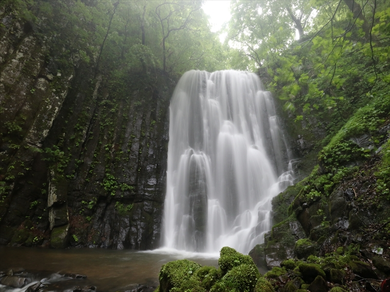
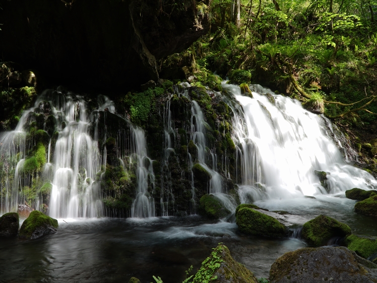
- Hottai Waterfall and Potholes
- Ryūgahara Wetland
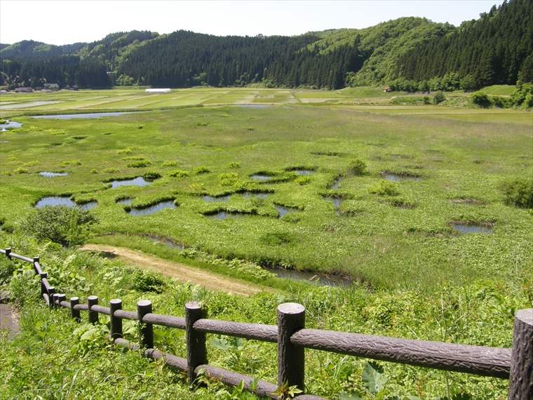
- Katakinuma Wetland
- Kuwanokidai Wetland
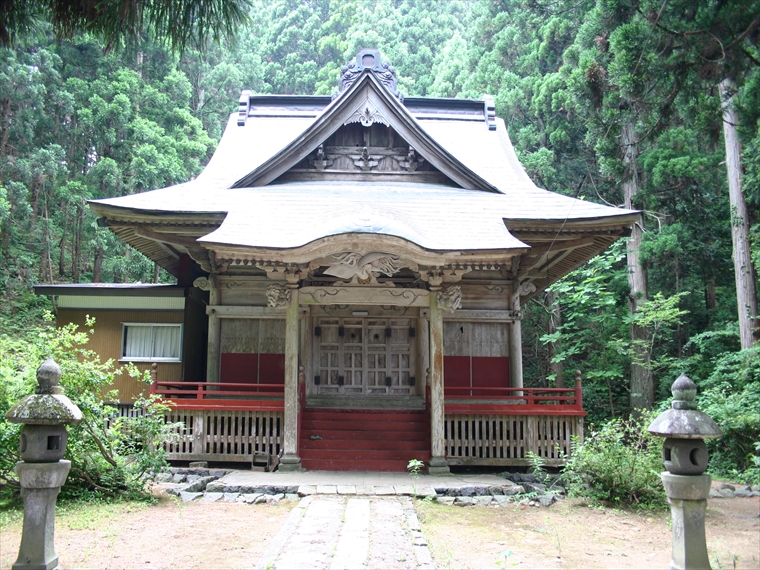
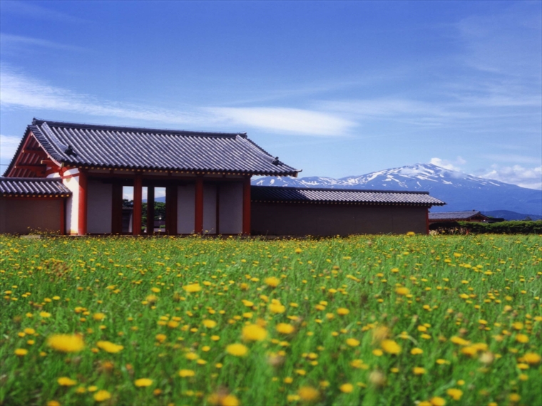
- Moriko Ōmonoimi Shrine
- Yurihara Plateau
- Kizakai Ōmonoimi Shrine
- Hamadate Park
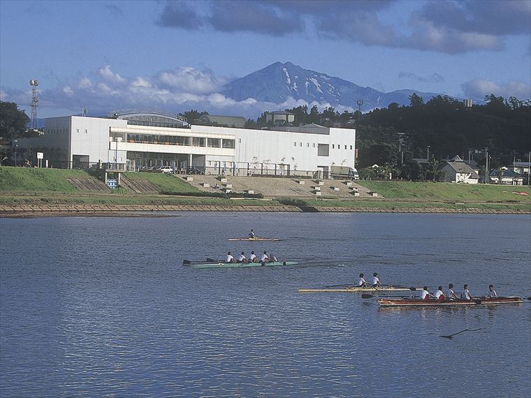
- Yurihonjō City Boat Plaza Aquapal
- Kameda Fudō Waterfall
- Akata-ōtaki Waterfall
- Shinzan Park (Shinzan Andesite)
- Ishizawa Waterfall and Byōbu-iwa (Folding Screen Rocks)
- Hiyama Waterfall
- Botsumeki Spring

- Kujūkushima Islands

- Misaki Coast

- Innai Oil Field Site

- Nikaho Plateau
- Kamigō Warming Canals

- Yuri Coast Seawall

- Karato-ishi Rock

- Fukuden Spring

- Takamori Overlook

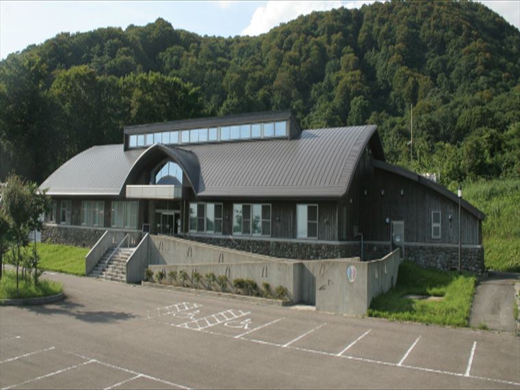
- Nikaho City Tourism Center “Nikahotto”

- Nikaho City Kisakata Local Museum

- Naso-no-shirataki Waterfall and Kinpō Shrine
- Naso Canyon

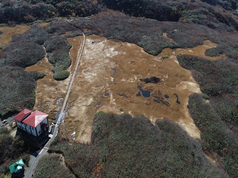
- Tōshi Wetland

- Kisakata Debris Avalanche Sediments and Buried Trees
- Mototaki Springs (Waterfall)

- Shishigahana Wetland, Nakajimadai

- Shinzan Lava Dome and Volcanic Bombs

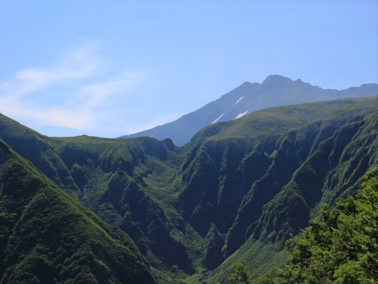
- Normal Faults, Mt. Chokai Mountainside

- Shirai-shinden Wetlands

- Yuza Motomachi Springs (Artesian Wells)

- Jūroku-rakan-iwa (16 Arhat Rocks)
- Misaki Coast

- Kamaiso Beach

- Dōhara Waterfalls

- Chokai Lake
御田ヶ原の流土階段(全景).jpg)
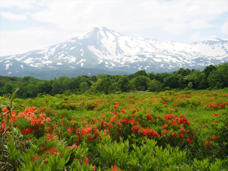
- Mt. Chokai Periglacial Landforms

- Shōnai Plain Eastern Margin Fault Zone

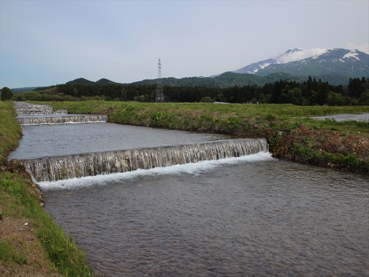
- Yatsumen-gawa River (Pungitius pungitius Habitat)

- Kamiko-no-mizu Water Basins

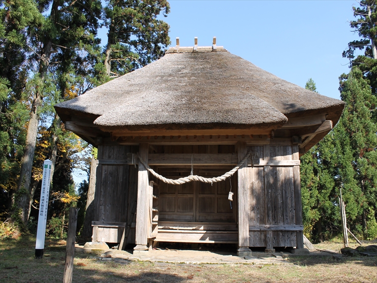
- Mt. Chokai Ōmonoimi Shrine (Fukura-kuchi-no-miya)

- Mt. Chokai Ōmonoimi Shrine (Warabioka-kuchi-no-miya)

- Shōnai Sand Dunes

- Takase Gorge and Waterfalls

- Chokai Onsen Yurari

- Ushiwatari River and Maruike-sama Pond
Browse recommended popular sites across Mt. Chokai and Tobishima Island.
- Kujūkushima Islands
- In the Kisakata area of Nikaho City, Akita Prefecture, there is a unique landscape of rice fields do……
- Ushiwatari River and Maruike-sama Pond
- Ushiwatari River runs about 4 km along the edge of volcanic rock from Mt. Chokai. The river is sourc……
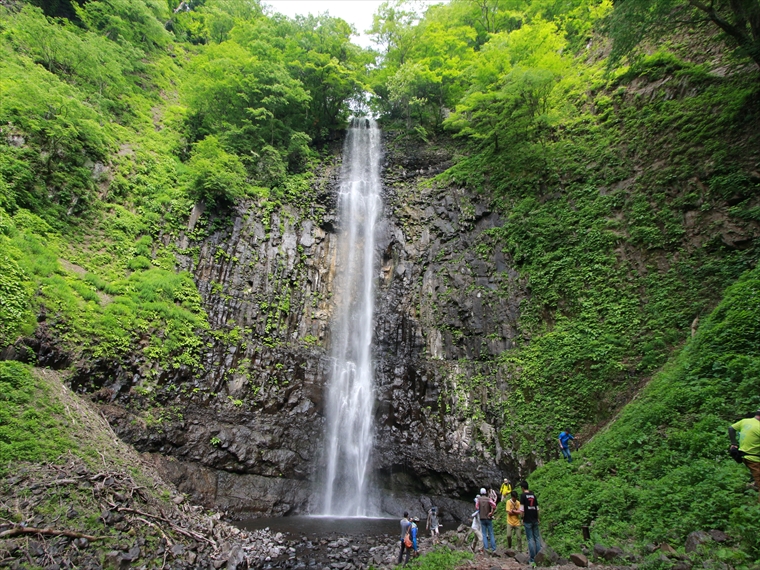
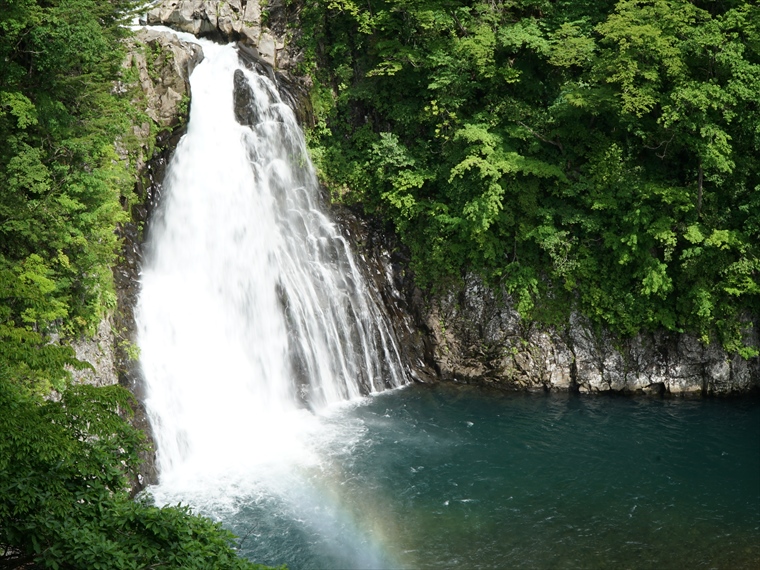
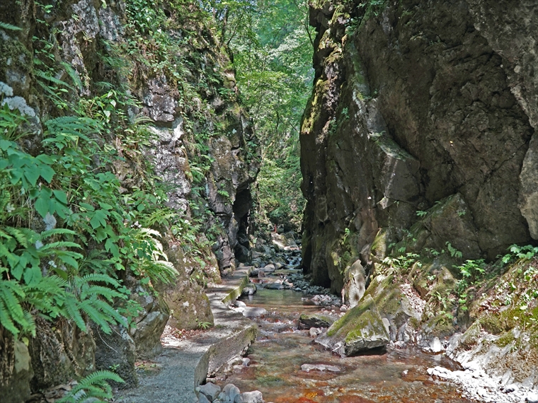
- Hottai Waterfall and Potholes
- In an eruption of Mt. Chokai about 100 thousand years ago, a large amount of lava flowed out, creati……
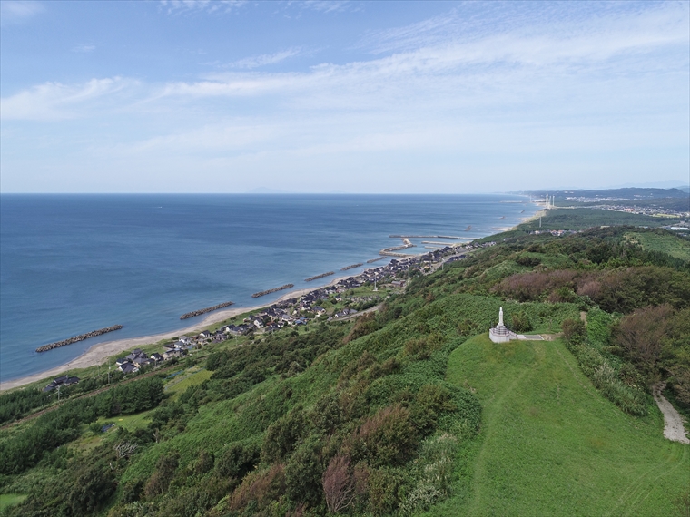
- Misaki Coast
- About 3,000 years ago, andesite lava flowed westward from a crater on Mt. Chokai, reaching the sea b……
- Nikaho Plateau
- Located at an elevation of about 500 m, this plateau was created by land that accumulated from a deb……
- Shōnai Sand Dunes
- These sand dunes stretch about 35 km north–south. They were formed by sand that was carried by river……

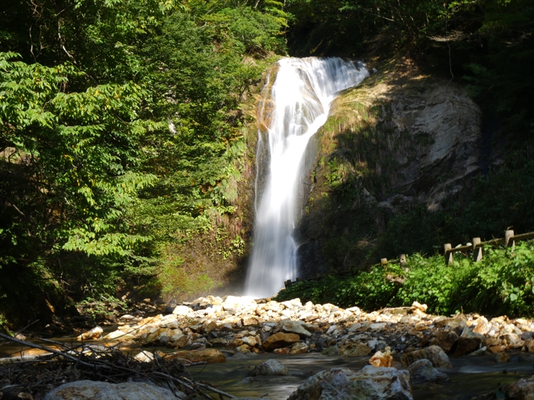
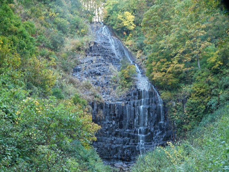
- Fudō Waterfall
- Behind Mitaki Shrine in Sakata City's Kurokawa area lies Fudō Waterfall. Standing about 20 m tall, t……

- Eboshi Islands
- The Eboshi Islands are located about 1 km west of Tobishima Island. This group of islands features m……

- Katsuura Port and Kitamaebune Culture
- One of the reasons Sakata Port, located at the mouth of a river, prospered as an origin point for we……
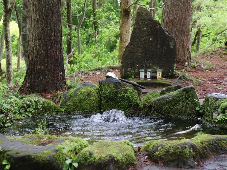
- Botsumeki Spring
- This natural spring is located on the east side of Mt. Yashio, where its steep slope changes to a ge……