
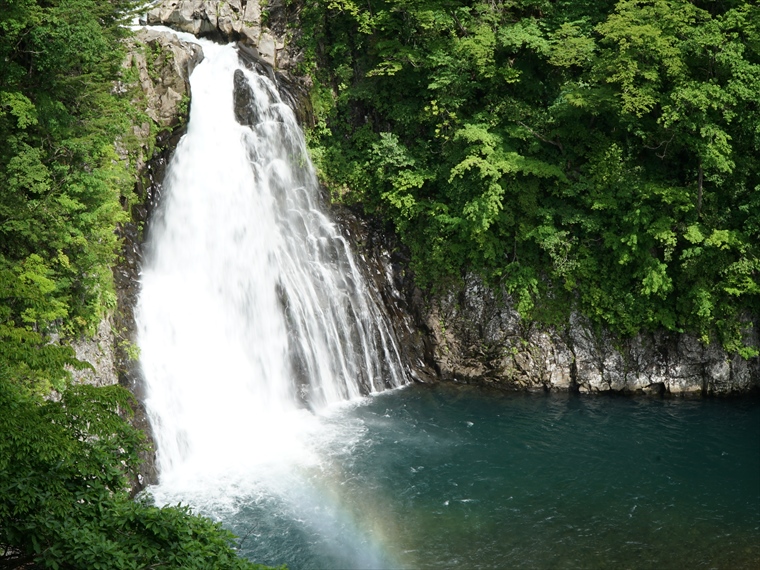
In an eruption of Mt. Chokai about 100 thousand years ago, a large amount of lava flowed out, creating the terrain here. The end of where the lava flowed forms a cliff where the Koyoshi River now flows, creating a beautiful waterfall with a height of about 57 m.
Hottai Waterfall has three levels. The third and bottom level has a regular pattern of vertical cracks called columnar joints, which formed as the lava slowly cooled and hardened.
Moving upstream to the second and first levels of the waterfall, you can see many circular or oval-shaped holes in the rocks, with diameters ranging from 30 cm to 2 m. These holes are called “potholes”; they are formed during heavy rains when water containing sand and small pebbles creates whirlpools, swirling over cracks and small holes in the riverbed.
Beyond the potholes, you can see cascading waterfalls and the summit of Mt. Chokai.


