
About 30 million years ago, before the Sea of Japan existed, this area was on the eastern edge of the Eurasian continent. Lava that erupted from volcanoes at that time cooled to become a rock called andesite. Even just the part visible above ground today reaches over 500 m in thickness. This is the oldest geological formation in the Yurihonjō area.
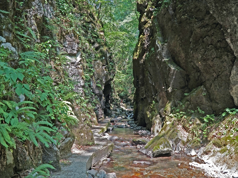
The steep cliffs that rise on either side of Ishizawa Ravine stretch about 8 km long. A walking trail runs between them, and partway along the trail is a rock formation called “Byōbu-iwa,” meaning “folding screen rocks,” because they resemble a traditional folding screen. Also found nearby are columnar joints, which are systematic, column-like cracks in the rock that formed as the lava that flowed here cooled.
Beyond the “folding screen” lies Ishizawa Waterfall. Here you can see firsthand how the water flows through the land, shaping the ravine and forming the waterfall.


