


About the Geopark
About the Geopark
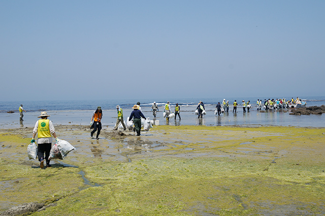
The Cycle of Water and Life from the Sea of Japan and the Earth
Mt. Chokai & Tobishima Island Geopark is an area created by volcanoes and earthquakes, where you can experience the cycle of water and life through the region’s geological, natural, and cultural heritage.
Geoparks: A Global and Growing Program
Geoparks are designated areas where natural, geological, and cultural heritage are protected and utilized for education and sustainable development. An official program of UNESCO, geoparks are spreading around the world, working to create societies where not only the current generation but also future generations can live and enjoy their region.
Sustainable Regional Development
The geopark promotes activities in the region with the aim of creating a sustainable society for both this generation and the next. Working toward this goal, our programs and activities are based on a vision with seven main aspects.
The Cycle of Water and Life from the Sea of Japan and the Earth
The warm currents that flow through the Sea of Japan bring large amounts of rain and snow to Mt. Chokai. This rain and snow seeps into the mountain, flows out again at the foot of the mountain as spring water, and eventually returns to the sea. The Sea of Japan, warm currents, rain and snow, and Mt. Chokai itself support the lives of all living things, providing a base for the rich natural environment and human lifestyles.
Partnerships Across Borders
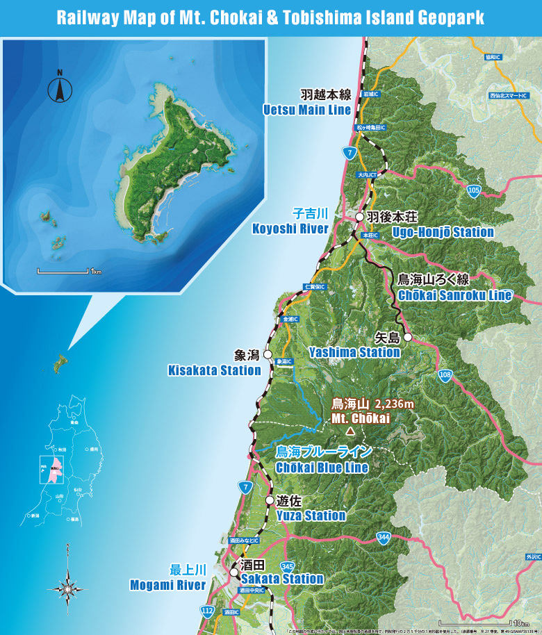
The geopark area includes Mt. Chokai, Tobishima Island and its surrounding marine area, and the area of Chokai Quasi-National Park. The geopark is made up of the 4 municipalities that surround Mt. Chokai—Yurihonjō City and Nikaho City in Akita Prefecture, and Yuza Town and Sakata City in Yamagata Prefecture. Programs and activities are carried out in close cooperation across these borders and with partners and local communities.
More Information
More Information

